
Hike Stats:
Length: 1.67 mi
Elevation gain: 679 ft
Moving time: 1:17
Time at peak: 20:10 UTC
Barometric pressure at peak: 779 mb
SOTA Contacts:
| Time | Callsign | Band | Mode | Notes |
|---|---|---|---|---|
| 20:15 | K6QCB | 144MHz | FM | 4-2 |
| 20:16 | NT6E | 144MHz | FM | |
| 20:17 | KI6SLA | 144MHz | FM | 59 |
| 20:18 | KN6SUZ | 144MHz | FM | 59 |
| 20:19 | WA6WV | 144MHz | FM | 53 |
| 20:20 | KN6REL | 144MHz | FM | 59 |
| 20:21 | KN6DMO | 144MHz | FM | 55 |
| 20:23 | KF6GPF | 144MHz | FM | 57 |
| 20:28 | N6JZT | 144MHz | FM | 55 |
Hike Notes:
The trail head is right before mile marker 60 on Route 2 (Angeles Crest Highway). I parked at the side of the road in a small turnout. Always display your National Forest Adventure Pass:
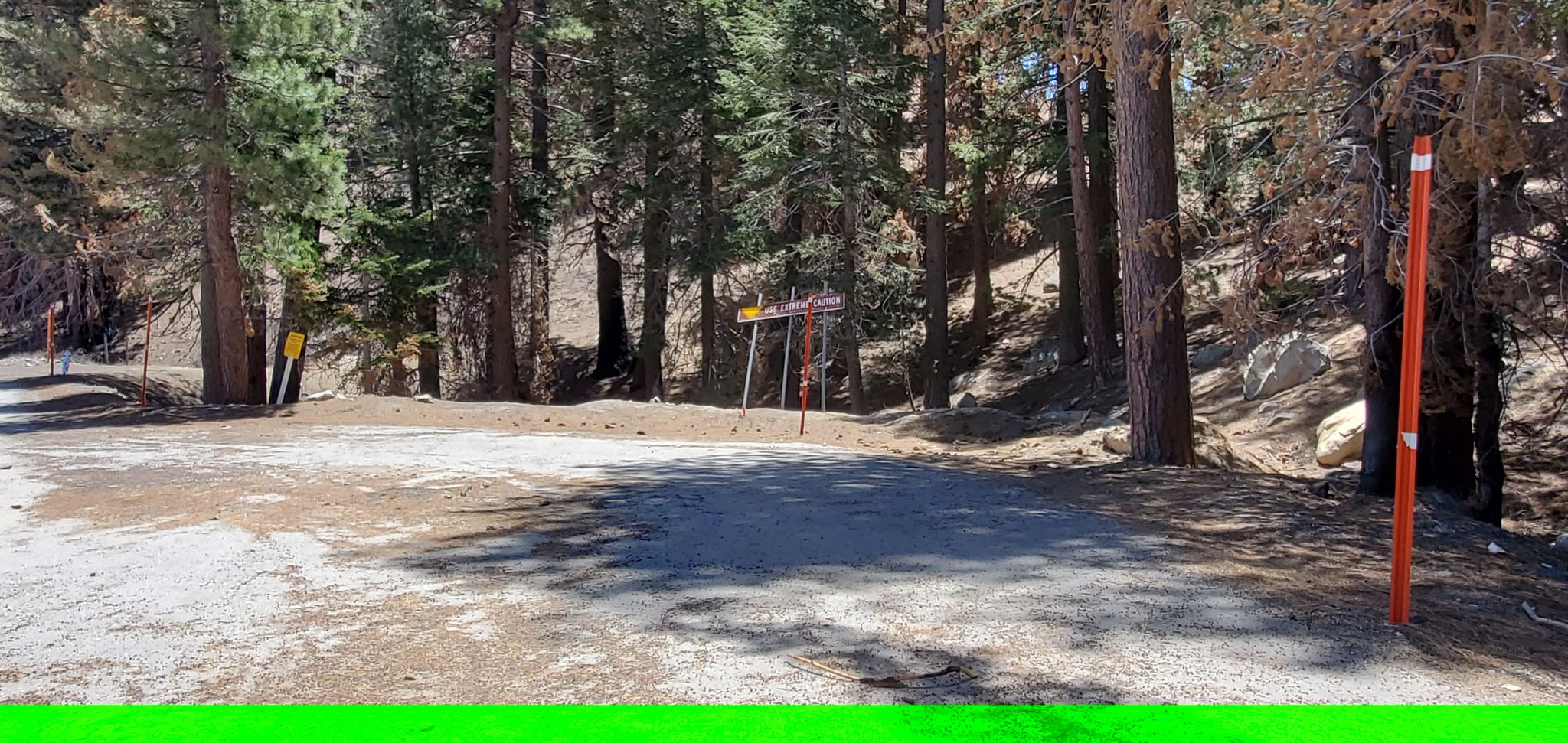
The initial part of the trail is not well defined. The area is covered with pine needles and there are multiple “paths” that may or may not be the trail. Follow your map, eventually you will end up with a better visible trail.

Krakta Ridge was once a downhill ski area. The ski area was closed in 2001. There are remnants of the ski lift still around:

Krakta Ridge is a short hike and a good way to collect 8 SOTA activator points.