
Hike Stats:
SOTA Contacts:
| Time | Callsign | Band | Mode | Notes |
|---|---|---|---|---|
| 18:42 | KI6SLA | 144MHz | FM | |
| 18:43 | W6LEN | 144MHz | FM | |
| 18:43 | KM6UHU | 144MHz | FM | |
| 18:44 | KI6PMD | 144MHz | FM | |
| 18:45 | K6MAM | 144MHz | FM | |
| 18:46 | K6TUY | 144MHz | FM | 59 |
| 18:46 | KN6TMT | 144MHz | FM | |
| 18:47 | NT6E | 144MHz | FM | 59 |
| 18:51 | W6IN | 144MHz | FM | 59 |
Hike Notes:
A steady uphill on various service roads, branching off into a single file trail at the very end. A good workout on the way up. Not a severe incline but a relentless one.
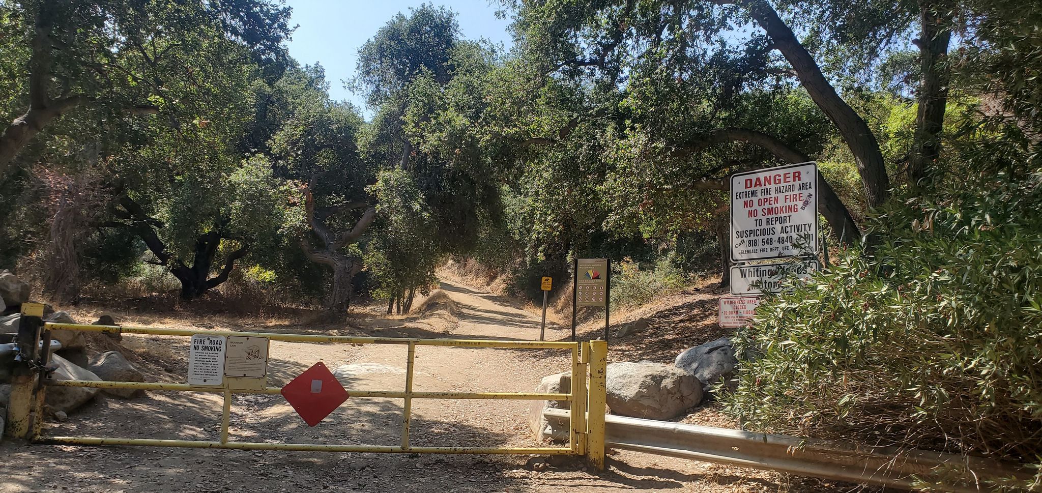
The trailhead starts at the end of a road in a residential area. Just park along the road.
Start hiking at this gate – Whiting Woods Motorway:
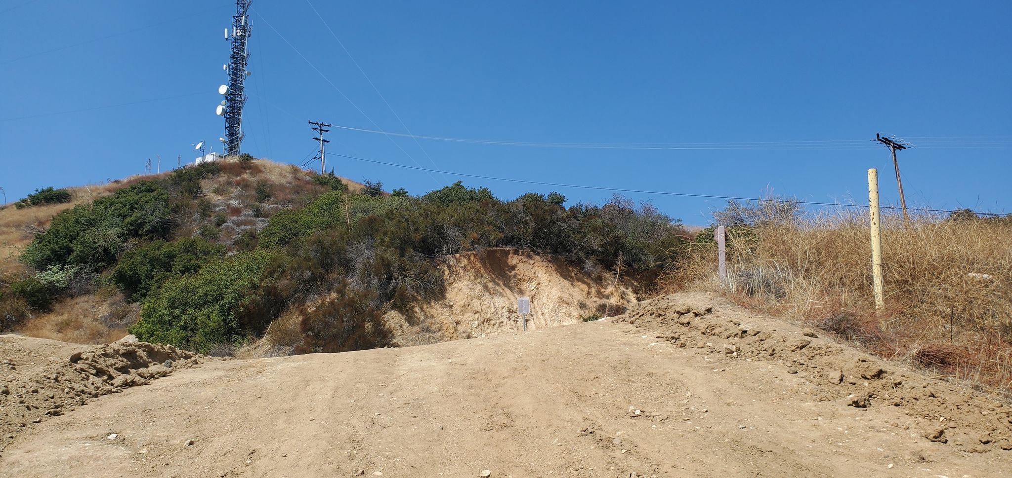
After 3.6 miles of uphill, turn right at the end of Whiting Woods Motorway. You are almost there. Note that the towers and hilltop you see are NOT Verdugo Peak.
After maybe a half mile there is a single file trail to the top, branching off to the left of the service road:

The fenced bunker at the top is your destination.
Notes & References:
For a different route, see https://longgreentunnel.blogspot.com/2019/05/w6ct-269-verdugo-mountains-high-point.html
Summary of the same route I took: https://mikakw1sota.blogspot.com/2014/04/hp-verdugo-mtns-w6ct-034.html