Hike Stats:
SOTA Contacts:
| Time | Callsign | Band | Mode | Notes |
|---|---|---|---|---|
| 21:08 | KN6CQX | 144MHz | FM | |
| 21:10 | NT6E | 144MHz | FM | 42 |
| 21:13 | K6QCB | 144MHz | FM | 59 |
| 21:15 | N6KZN | 144MHz | FM | 43 |
Hike Notes:
This would be an easy hike if the peak was not at 8109 feet above sea level.
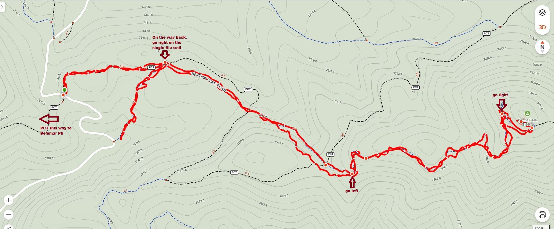
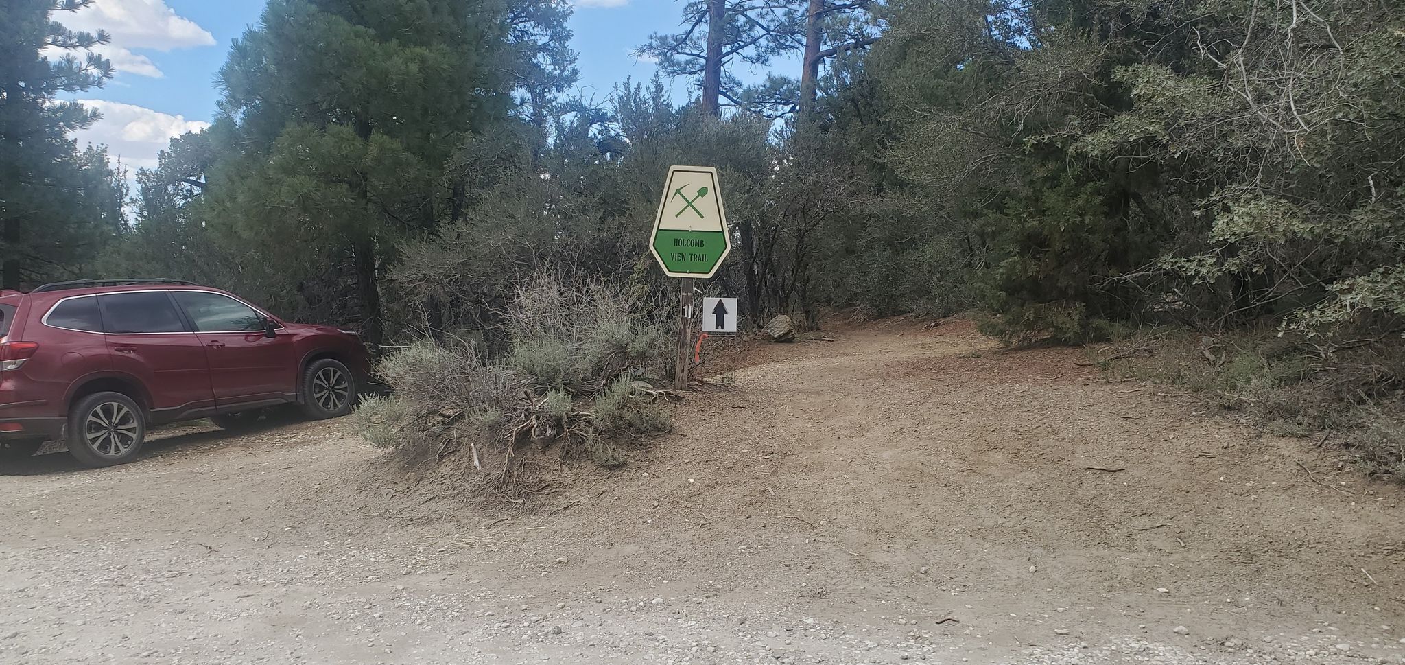
The trailhead is on Polique Canyon Road, where it crosses the Pacific Crest Trail:
BTW. the trailhead for Delamar peak is right across Polique. This is a possible two-in-one activation.
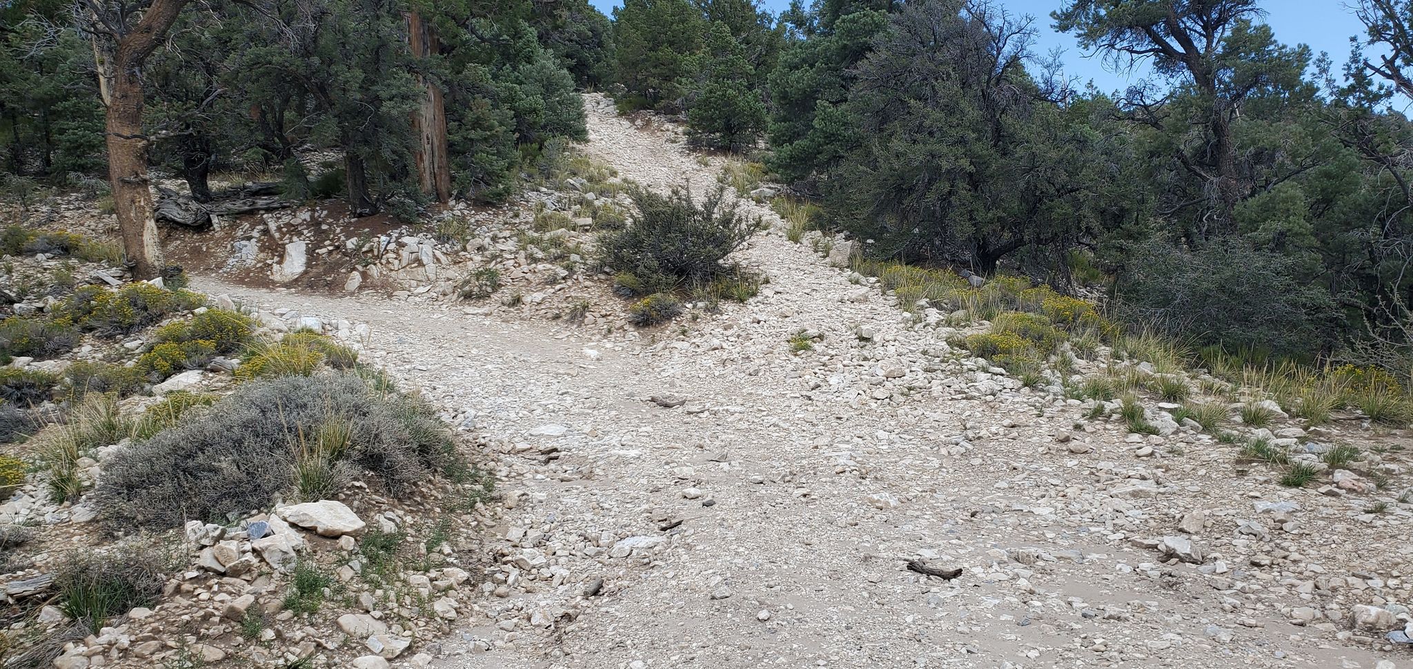
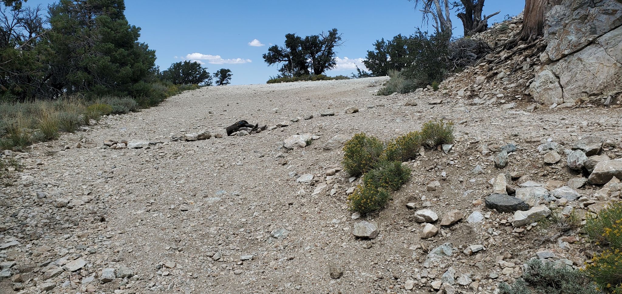
You will head up Bertha Peak Road, the unpaved service road, crossing the PCT several times. When you get to this point, go left:
When you are almost at the peak, make a sharp right:
Obey the line of stones.
You can’t miss the peak itself – just look for the radio towers:
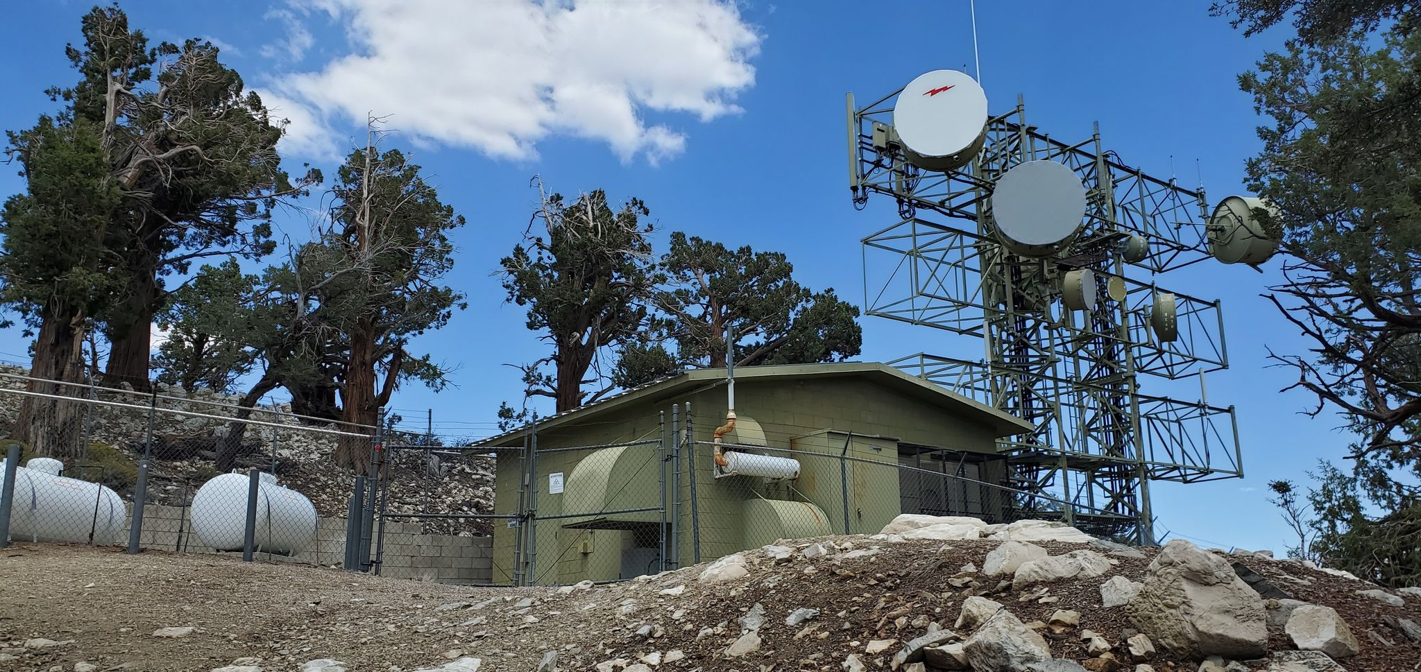
If you are working two meters, be sure to use a bandpass filter.
On the way back, take the service road, but make sure to take a right where the trail branches off. It is very easy to miss this and go the wron way:
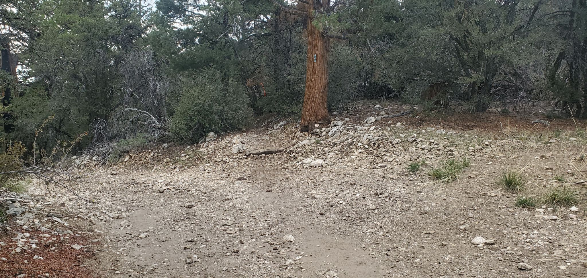
There is a trail to the right of the tree. If you forget and keep going on the service road, you will end up on Polique but your car will be an inconvenient hike uphill.
for a VHF activation, check local Big Bear repeaters and get out the word about your activation. The locals are very ham-active and will be happy to chase. It can be difficult to reach chasers in the greater LA area from this peak.