
Hike Stats:
SOTA Contacts:
| Time | Callsign | Band | Mode | Notes |
|---|---|---|---|---|
| 20:58 | NT6E | 144MHz | FM | 59 |
| 20:58 | KI6SLA | 144MHz | FM | |
| 21:00 | KN6REL | 144MHz | FM | 59 from long beach |
| 21:02 | KI6PMD | 144MHz | FM |
Hike Notes:
My previous hike to Baden Powell followed the Pacific Crest Trail straight up from Vincent Saddle. Actually it was far from straight up, involving many switchbacks. This time, I figured i would hike from Dawson Saddle, past Throop Peak, an along a ridge to Baden Powell. This hike was a bity longer (9.36 miles vs. 9.0 miles) but required much less elevation gain (2,349 ft vs. 3123 ft).
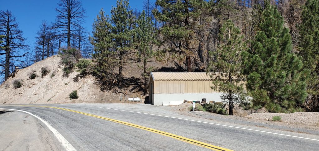
The trailhead and parking are the same as for Throop Peak:

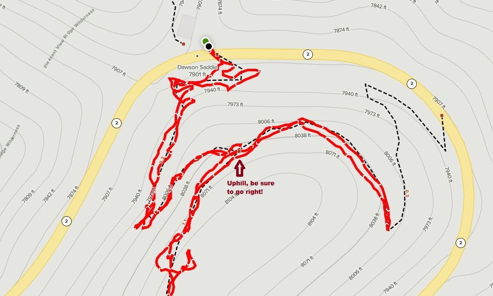
There is one “gotcha” on the way up- be sure to take a sharp right at about 0.3 miles up. If you keep going on the same trail you will end back on Angeles crest Highway:
No other pictures or notes I’m afraid.
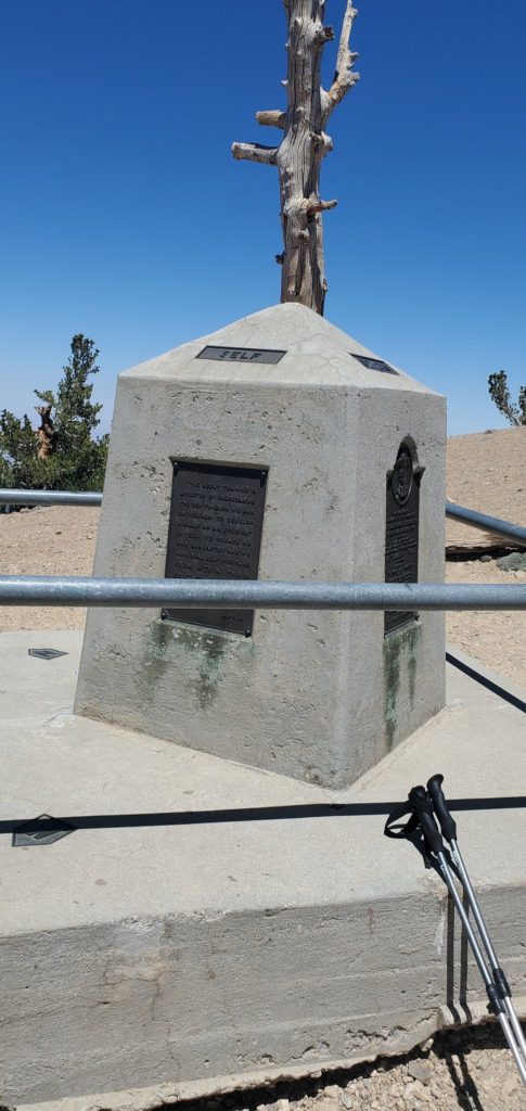
Here is the summit:
I wish I had taken more pictures on the way up, but I was very focused on making the summit. Mount Burnham is not a SOTA peak but does count for Sierra Club 100 Peaks.
References:
SOTA activation notes by AA6XA – https://longgreentunnel.blogspot.com/2017/05/w6ct-004-mt-baden-powell.html
SOTA activation notes by N0PCL – https://n0pcl.blogspot.com/2015/11/activation-report-for-mt-baden-powell.html
Wikipedia article – https://en.wikipedia.org/wiki/Mount_Baden-Powell
Did you know there is another Mount Baden Powell in Nepal?